

isopleth
- noun
- /ˈaɪsəˌplɛθ/
- Specialized
- Figure 1 also shows isopleths, indicating areas of the same exposure concentrations.
- yield-per-recruit isopleth
Examples
-
The scientist used an isopleth to illustrate areas with the same levels of rainfall on the map.
-
The value of the corresponding isopleth determines the boundary of the core area 43.
Academic text (2018) -
GRAPH: Figure 5. Yield-per-recruit isopleth diagram for Atlantic menhaden using average growth and fishing mortality values by quarter for the 1981 fishing year.
Academic text (1991) -
GRAPH: Figure 10 -- Yield-per-recruit isopleth diagram for Gulf menhaden using average conditions of growth and fishing mortality for the period 1978-85.
Academic text (1991) -
A yield-per-recruit isopleth shows gains and losses of yield-per-recruit as a function of fishing mortality rate or age-at-entry to the fishery (Fig. 10).
Academic text (1991) -
In the geography class, we learned how to draw an isopleth to connect points of equal temperature.
-
The weather report included an isopleth showing temperatures across different regions.
Synonyms
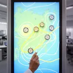


 1
7.9
1
7.9
A line on a weather map that connects places with the same air pressure

A line on a map that joins places with the same height or temperature

A line on a map that connects points with the same value, like temperature

A line on a map joining places that have the same temperature or height

A line on a map connecting points that have the same value, like temperature or pressure
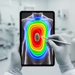
A line or area on a diagram that shows places with the same radiation level
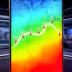
A line on a map joining places with the same temperature at the same time
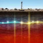
A line connecting points below the ground that have the same temperature

A line on a map that connects places with the same average summer temperature
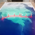
A line on a map connecting places with the same average winter temperature
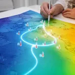
A line on a map connecting places with the same average temperature in the coldest month

A line on a map joining places that have the same number of hailstorms
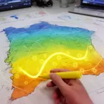
A line on a map that shows places with the same amount of sunshine

A line on a map that joins points at the same water depth
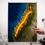
A line on a map that connects places that have risen by the same amount

A line on a map joining places with the same underground water pressure
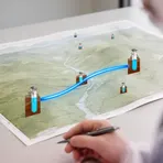
A line on a map joining places with the same water pressure underground

A line on a map joining places that felt the same earthquake shaking

A line on a map joining places with the same magnetic strength

A line on a map showing places where compasses point the same amount away from north
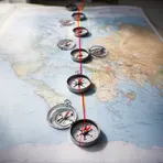
A line on the Earth's surface joining places where compasses point the same amount from true north

A line on a map showing places where compass needles tilt the same way

A line on a map connecting places with the same angle of the Earth's magnetic field

Line on a weather map that joins places with the same wind speed
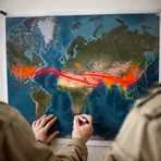
A line on a map that shows places where rocks formed at the same time

A line on a map that connects places where an event happens at the same time

A line on a map that shows where people pronounce sounds differently

A line on a picture that joins points of the same brightness

A line on a map connecting places where thunder and lightning happened at the same time

A line on a map that connects places where plants flower at the same time
Surface Forms
Morphology
isopleth = iso + pleth
Formed from Greek combining forms (iso- 'equal' + -pleth/-plēthos 'quantity'); these are technical combining forms and 'pleth' is not a standalone English word, so an average B1 learner cannot derive the meaning from the parts.
Etymology
The word isopleth comes from the Greek parts iso- meaning 'equal' and -pleth meaning 'amount' or 'value'. So an isopleth is a line on a map that joins places with the same measurement, like an isotherm for temperature or an isobar for pressure.