
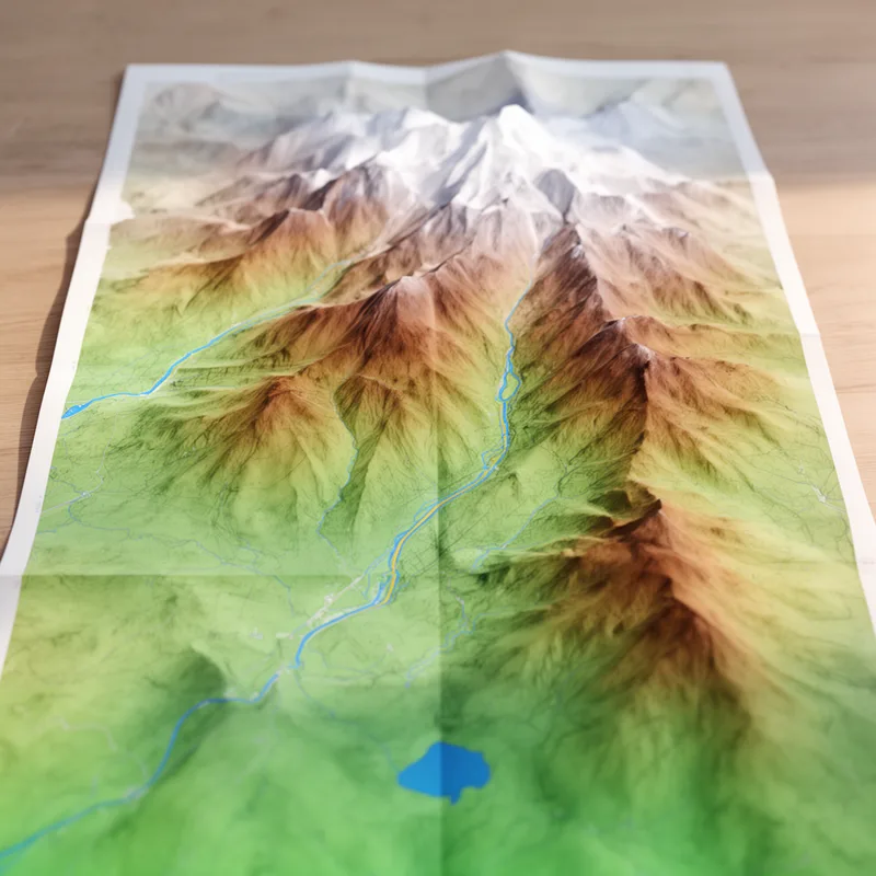
topograph
- noun
- /ˈtɒpəˌɡræf/
- Before building the new park, the city council reviewed the topograph of the land to understand its features.
Examples
-
Upper image shows a topograph of the surface at a one-atom-high step from one terrace (red) down to a lower terrace (green).
Academic text (1993) -
Both the Almaden topographs and the Yorktown Heights spectroscopy experiments image the local density of states of the electrons in the surface states.
Academic text (1993) -
The geologist created a detailed topograph to show the mountains and valleys of the region.
-
The hiking guide used a topograph to help the group navigate through the rough terrain.
Synonyms

 61
3.9
61
3.9

A map used to plan a trip by sea or air
 1
8.4
1
8.4
A map that shows the shape of land and its height
 1
3.5
1
3.5
A map that shows land height and shape using lines that join places at the same height


 1
3.9
1
3.9
A map that shows the height and shape of the land using lines or shading
How Detailed

Surface Forms
Morphology
Etymology
Topograph comes from the parts topo- 'place' and -graph 'to draw', so it literally means a 'place-drawing'. That's why a topograph is a detailed map that shows rivers, hills, and other land features.