
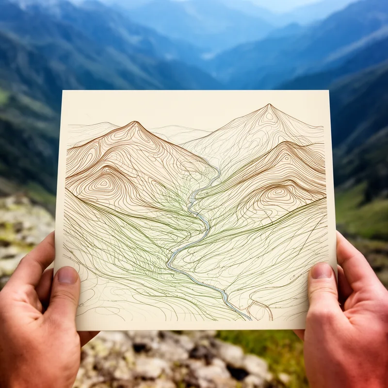
contour map
 1
3.5
1
3.5

- noun
- /ˈkɒn.tʊr mæp/
- Specialized
- Student teachers chose a format that required teams of fifth and sixth graders to use Silva compasses and a contour map to traverse a twenty-acre heavily wooded area near a school.
Examples
-
The contour maps were derived from these matrix values.
Academic text (1993) -
The USAirNet national contour map of wind speeds shows that wind speeds across the country are low and that the high points are places that do not correspond to where you would put wind turbines according to wind resource maps.
Blog text (5) -
We therefore chose to display our results in a contour map of such an integral.
Academic text (1999) -
A contour map of the upper surface (Figure 3a) details that structure.
Academic text (1992) -
Based on these contour maps, pollution levels for each population center from each of the census tracts in the county were estimated.
Academic text (1993) -
Contour maps of the distribution of air pollutants were constructed using a computer program called SYMAP.
Academic text (1993) -
(a) Contour map of the upper canopy surface of a tropical dry forest in the Parque Metropolitana made in September 1990.
Academic text (1992) -
A contour map of relative doneness has the virtue of resembling the visual information provided to the cook by the cross-section of a real piece of meat.
Academic text (1999) -
This contour map of the planetary nebula Fleming 1 shows its pinwheel shape, perhaps due to a spinning jet that is sporadically shooting blobs of material outward from the center.
Academic text (1996) -
A contour map clearly shows how the land rises and falls, illustrating the elevation with connecting lines.
Synonyms
 1
8.4
1
8.4
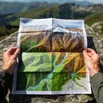
A map that shows the shape of land and its height


 1
3.9
1
3.9
A map that shows the height and shape of the land using lines or shading
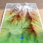
A detailed map that shows land shape and features like hills and rivers
How Detailed
- Specialized
1
3.5

Surface Forms
Morphology
The noun-noun compound is transparently compositional: 'contour' (lines of equal elevation) + 'map' (a chart) directly yields a map that displays contour lines and thus elevation. This descriptive, literal formation is common across languages and follows standard English compounding, so a B1 learner who knows both words will readily infer the meaning.
Etymology
The noun contour map comes from the idea of contour lines that follow the same height on a map, like walking around a hill at the same level and making a ring. That's why a contour map shows lines that join places of the 'same height', so you can see the 'shape of the land' and how steep it is.