
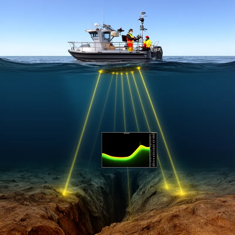
bathymetric
 1
9.4

- adjective
- /ˌbæθɪˈmɛtrɪk/
- Specialized
- Scientists use bathymetric data to understand how ocean currents affect marine ecosystems.
- bathymetric chart
- bathymetric data
- detailed bathymetric
Examples
-
A detailed bathymetric survey revealed the depths of the trenches in the Pacific Ocean.
-
Current strategies: Spatial boundaries are defined as large marine ecosystems on the basis of hydrographic, bathymetric, and biogeographic criteria.
Academic text (2008) -
So now we can turn to the particular features, bathymetric features in the ocean.
-
It also provides detailed bathymetric data critical for addressing a host of practical and research problems.
Academic text (2011) -
In the Gulf of Hammamet, a clear bathymetric distribution of the larval assemblages was identified.
Academic text (2018) -
Every new seamount explored was mapped using a bathymetric mapping system onboard Atlantis, and those maps can now be used by others who wish to explore here.
Academic text (2002) -
Bathymetric charts of the fishing area show a sharp drop-off on the southwestern corner of the bank that may act as an additional physical barrier to substantial immigration to or emigration from other parts of the bank during the fishing period.
Academic text (1990) -
Gobiidae and Labridae also showed the highest density and frequency of occurrence in the coastal zone of the Gulf of Sirte, while no Centracanthidae larvae were found in this bathymetric region.
Academic text (2018) -
Bathymetric technology has allowed for the discovery of hidden seamounts, volcanoes, reefs, and other objects, which has aided in the smooth operation of nautical transportation (National Geographic Society, 2012).
Academic text (2013) -
The researchers analyzed the bathymetric map to study the underwater landscape of the ocean floor.
Synonyms
 1
8.4
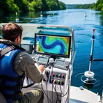
Relating to measuring and mapping seas, rivers, and lakes

 1
9.1
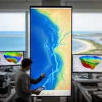
Relating to the study or mapping of rivers, lakes, seas, and nearby land
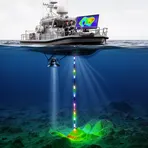
Relating to measuring how deep the sea or a lake is
Surface Forms
Morphology
bathymetric = bathymetry (semi-transparent) = bathy + metry + ic
The components 'bathy-' (deep) + '-metry' (measurement) + the adjectival suffix '-ic' together yield the meaning, but the combining forms are technical Greek elements that are not familiar to average learners.
Etymology
The word bathymetric comes from the Greek bathys 'deep' and -metric 'measure', like the familiar words meter or metric. So, bathymetric describes measuring or mapping how deep a sea, lake, or ocean is.