
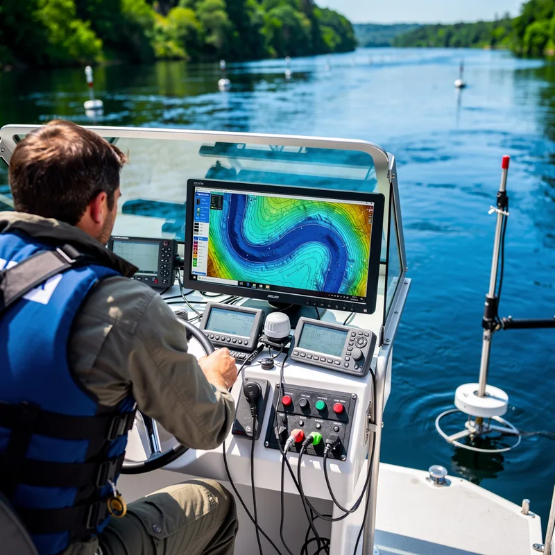
hydrographic
 1
8.4

- adjective
- /ˌhaɪdrəˈɡræfɪk/
- Specialized
- The researchers conducted a hydrographic survey to measure the depth and temperature of the lake.
- hydrographic survey
Examples
-
Using hydrographic tools, they analyzed the currents in the river to improve fishing conditions.
-
Related hydrographic surveys from the ground were completed in 1973-1974.
Academic text (1998) -
On hydrographic charts, the bay is divided into three areas: Raritan Bay, Lower Bay, and Sandy Hook Bay.
Academic text (1990) -
Current strategies: Spatial boundaries are defined as large marine ecosystems on the basis of hydrographic, bathymetric, and biogeographic criteria.
Academic text (2008) -
Nonetheless, the hydrographic survey for Transjordan requested by the Peel Commission had been completed, and it provided recommendations for water utilization in the Jordan River Basin.
Academic text (1996) -
The hydrographic basin of the San Francisco has a peculiar physiography, mostly formed by upland rivers (Tucci et al., 2001).
Academic text (2018) -
Glang will be responsible for overseeing NOAA's hydrographic services, vital to the nation's $1.9 trillion maritime economy and supporting President Obama's National Export Initiative.
Blog text (23) -
A NOAA Corps officer since 1989, Glang has a strong background in the hydrographic surveying and seafloor mapping sciences that are the foundation of Coast Survey's primary mission.
Blog text (23) -
A detailed hydrographic map provides essential information for safe navigation in coastal waters.
Synonyms

 1
9.1
Relating to the study or mapping of rivers, lakes, seas, and nearby land
Surface Forms
Morphology
hydrographic = hydrography (semi-transparent) = hydro + graph + ic
The adjective is regularly formed from the technical noun 'hydrography' with '-ic', but the sense remains specialized rather than fully predictable for an average learner.
Etymology
The word hydrographic comes from the Greek parts hydro- meaning 'water' and -graphic meaning 'writing' or 'drawing', like in photograph. So a hydrographic survey is like a 'drawing of water', which is why the word means mapping and measuring seas, rivers, and other bodies of water.