
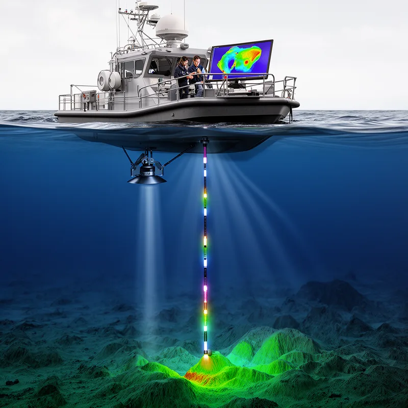
bathymetrical
- adjective
- /bæθɪˈmɛtrɪkəl/
- Specialized
- Satellite data are used to create detailed bathymetrical maps of the ocean floor.
Examples
-
Researchers compiled bathymetrical profiles to study changes in lake depth over time.
-
The bathymetrical map revealed the underwater landscape.
-
The bathymetrical survey revealed previously unknown underwater valleys.
-
Scientists conducted bathymetrical surveys to understand ocean depths.
-
Researchers compiled bathymetrical profiles to study changes in lake depth over time.
-
Satellite data are used to create detailed bathymetrical maps of the ocean floor.
-
Scientists conducted bathymetrical surveys to understand ocean depths.
Synonyms
 1
8.4

Relating to measuring and mapping seas, rivers, and lakes
 1
9.4
Used to measure how deep the ocean, sea, or lake is
Surface Forms
Morphology
bathymetrical = bathymetric (semi-transparent) = bathy + metr + ical
The suffix '-al' is a standard adjectival formation from 'bathymetric'.
Etymology
Bathymetrical comes from Greek parts bathy- ('deep') and -metron ('measure'), the same 'meter' you see in words like thermometer or speedometer. So, bathymetrical means measuring the depths of seas, oceans, or lakes.