
hypsometry
- noun
- /hɪpˈsɑːmətri/
- Specialized
 :
hipsometría
:
hipsometría
- The study of hypsometry helps scientists understand how land elevation affects climate patterns.
Examples
-
Hypsometry is crucial for planning infrastructure projects in mountainous regions.
-
By analyzing hypsometry, researchers can determine how landforms are influenced by tectonic activity.
-
Brckner provided us with a clue to another geographical topic also somewhat neglected by geographers: Jefferson's interest in geomorphology, particularly in hypsometry.
Academic text (2008)
Synonyms


 1
8.0
1
8.0
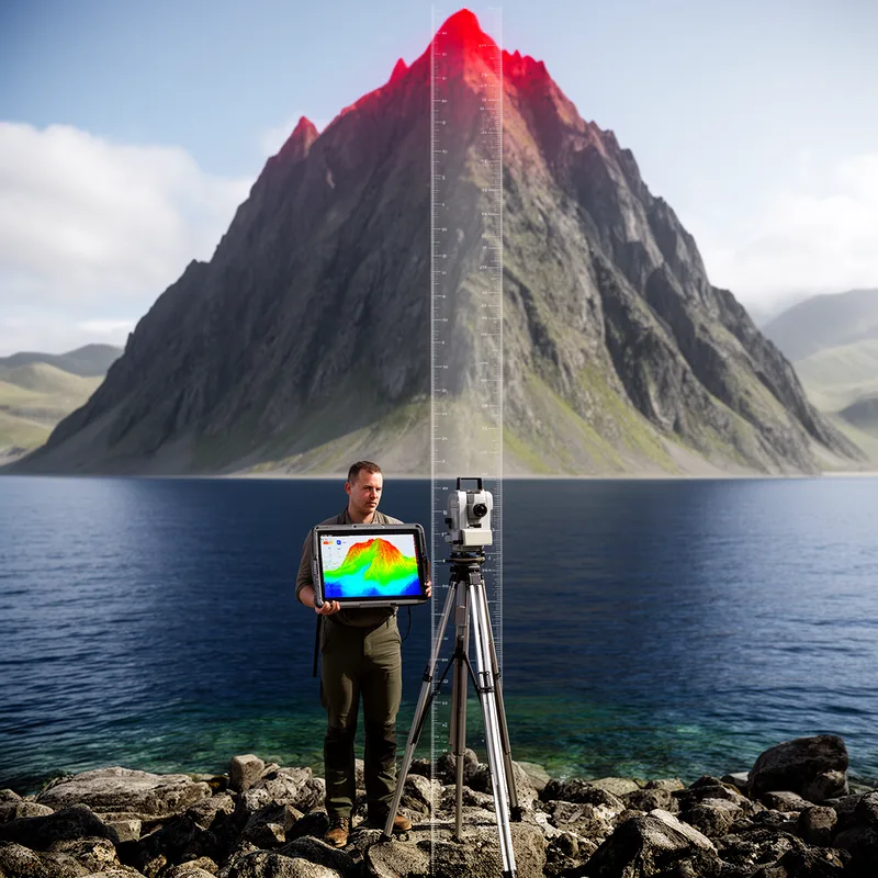
A way to measure height above sea level

Measuring and mapping the height and shape of land above sea level
Surface Forms
Morphology
hypsometry = hypso + metry
The combining form 'hypso-' (height) is a specialized Greek-derived element not recognizable to an average B1 learner, and although '-metry' means measurement, the full term is technical and not transparently derived for general learners.
Etymology
Hypsometry comes from Greek parts hyps- meaning 'height' and -metry meaning 'measure'. So, hypsometry means the measurement of how high land is above sea level, like the same '-metry' in geometry or thermometer but for height.