
altimetry


 1
8.0
1
8.0
- noun
- /ælˈtɪmətri/
- Specialized
 :
altimetría
:
altimetría
- The new geological studies include borings at key locations, physical surveys, field explorations, airborne laser altimetry, as well as examination of past studies.
Examples
-
In this study, the daily surface current fields during the survey periods, as evaluated by means of the altimetry products, and wind patterns were jointly used and considered as "movers" of the fish larvae.
Academic text (2018) -
By applying altimetry, the team was able to create a detailed map of the ocean floor.
-
It implies altimetry, it implies the measurement of the depth, and so on.
-
The 1995/96 rise also appears in satellite altimetry-based Sea Level Anomaly data for the Tropical Pacific.
Blog text (5) -
Satellite radar altimetry measurements indicate that the East Antarctic ice sheet interior increased in mass by 457 billion metric tons per year from 1992 to 2003.
Blog text (18) -
Satellite altimetry and imagery used to track the changes of ice properties within ice parcels on the scale of a meter will remain crucial for understanding the physical processes that control the Arctic's evolution, particularly when the observations are supplemented with occasional short-term field studies.
Academic text (2011) -
Almost two hours after the earthquake struck, the low-orbiting altimetry satellite Jason 1 was, by chance, in the right place at the right time: tracking the ocean surface 1500 km from Sri Lanka and headed northeast toward the Bay of Bengal.
Academic text (2006) -
Satellite radar altimetry measurements indicate that the East Antarctic ice sheet interior north of 81.6°S increased in mass by 457 billion metric tons per year from 1992 to 2003.
Blog text (18) -
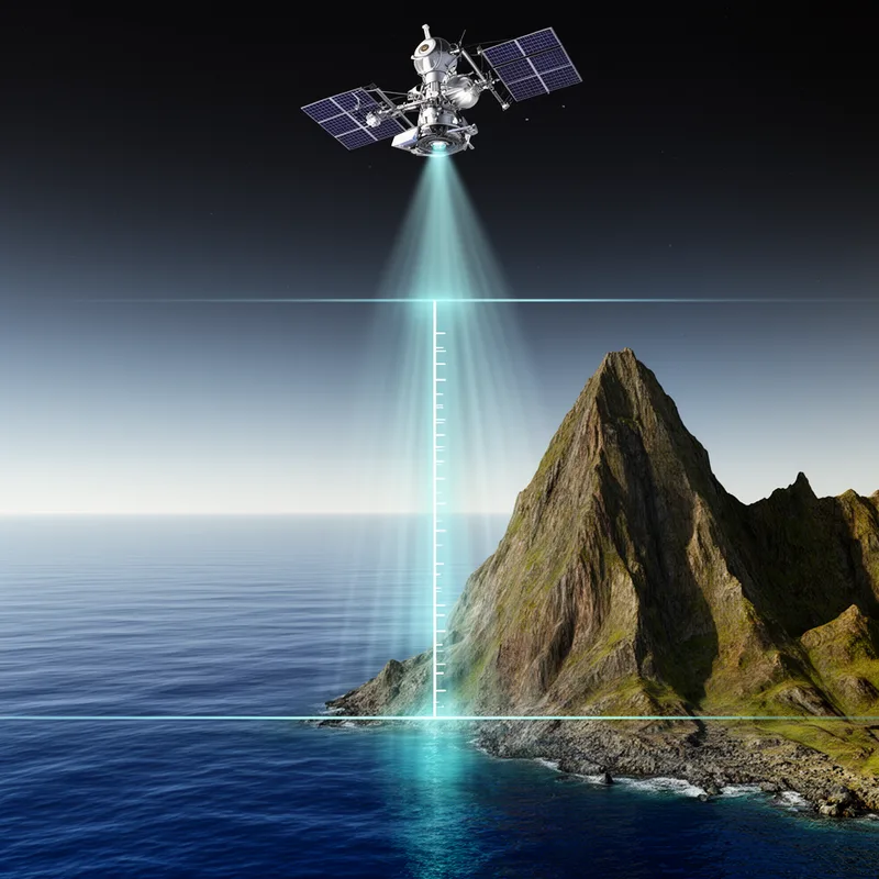
The scientist used altimetry to accurately measure the height of the mountain above sea level.
-
Satellite altimetry helps researchers monitor changes in ice thickness over time.
Synonyms

To measure how high land is above sea level

Measuring and mapping the height and shape of land above sea level
Surface Forms
Morphology
altimetry = altitude (transparent) = alti + metry
The term literally denotes the measurement of 'altitude' and learners who know 'altitude' and the suffix '-metry' can readily infer the meaning.
Etymology
Altimetry comes from altus meaning 'high' and -metry meaning 'measure', the same parts you see in altitude and geometry. So altimetry literally means 'measuring height', which is exactly what this science does.