
geodesy
- noun
- /dʒiˈɑːdəzi/
- Specialized
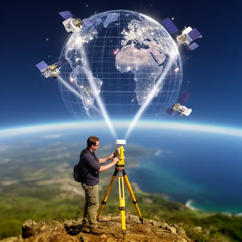
- The study of geodesy helps scientists understand the Earth's shape and how to accurately measure distances between points on its surface.
- Geodesy investigations
- Geodesy and seismic investigations
- Geodesy and transport
Examples
-
In the field of geodesy, researchers use satellites to precisely determine the location of geographical features.
-
The InSight mission—an acronym for Interior exploration using Seismic Investigations, Geodesy and Heat Transport—made the cut for the space agency's Discovery program, NASA said today.
Blog text (6) -
In collaboration with the University of Sarajevo, the training of the students of geodesy, physics, and others took place.
Academic text (1995) -
Ashby consults for the Time and Frequency Division of the National Institute of Standards and Technology and serves on several international working groups that discuss relativistic effects in geodesy and metrology.
Academic text (1996) -
Advancements in geodesy have improved our ability to create detailed maps and connect different locations on Earth.
How Precise

Surface Forms
Etymology
Geodesy begins with geo- 'earth', the same 'geo-' you know from geography and geology. The second part, -desy, comes from a Greek word meaning 'to divide' or 'to measure', so geodesy literally means 'measuring the Earth', which is exactly what this science does.

