
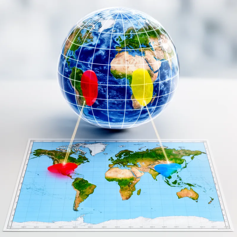
equal-area map projection
- noun
- /ˈiːkwəl ˈɛəriə mæp prəˈdʒɛkʃən/
- Specialized
- While shapes may be distorted, an equal-area map projection preserves the correct proportions of land masses.
Examples
-
The equal-area map projection is often used for world maps to accurately represent the size of continents.
-
The equal-area map projection accurately represents the sizes of countries.
-
Cartographers choose an equal-area map projection when they need area comparisons to remain valid.
-
Many geographers prefer the equal-area map projection for its accuracy.
-
Cartographers choose an equal-area map projection when they need to ensure that area comparisons are accurate.
-
The equal-area map projection is commonly used in geography to maintain the true sizes of land areas.
-
Using an equal-area map projection helps to accurately depict the area of each country on a world map.
Synonyms

A way of making a flat map that keeps each place's area the same as on the globe
Surface Forms
Morphology
equal-area + map + projection
The meaning is transparently built from its parts: 'equal-area' (preserving areas) + 'map' + 'projection' (a method of projecting the globe onto a plane), so a learner can derive that it is a map projection that preserves area. Although technical, the components map directly onto the overall meaning and similar compound constructions exist cross-linguistically, so a B1 learner who knows the constituent words would understand it.
Etymology
Equal-area map projection comes from mapmakers' aim to keep the real area of places equal when they draw the round Earth on a flat map. Imagine cutting the globe into pieces and laying them flat so each country's size stays the same even if its shape bends, and that's why the phrase means a map that keeps 'area' the same as on the globe.

