
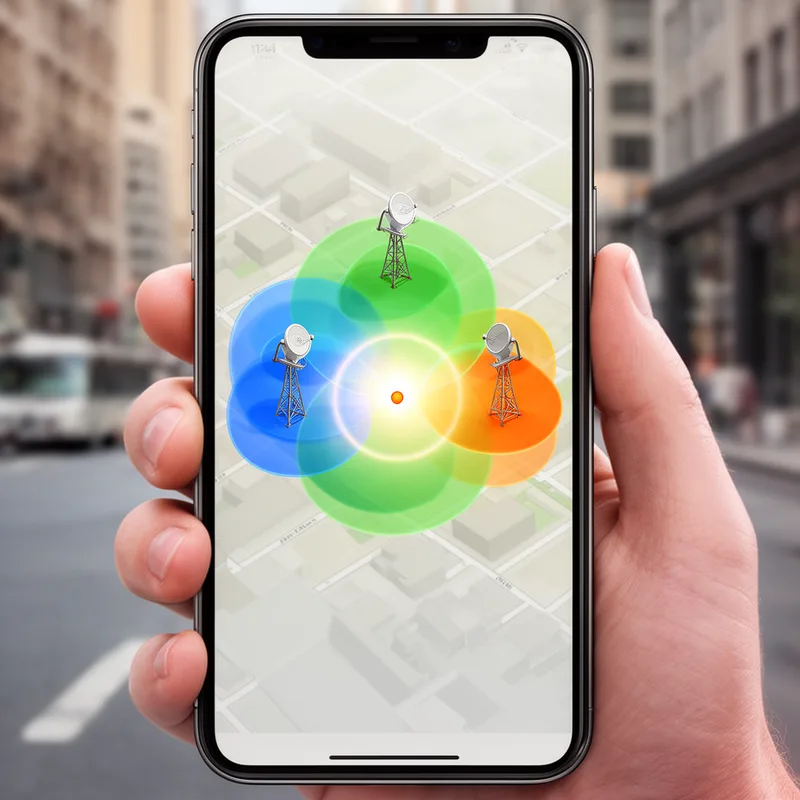
trilateration
- noun
- /ˌtraɪˌlætəˈreɪʃən/
- Specialized
- These receivers use the information encoded in the radio signals to do a little math called trilateration.
Examples
-
The GPS system relies on trilateration to provide accurate location data by measuring distances from multiple satellites.
-
To locate the abandoned shipwreck, the team employed trilateration to calculate its position using three reference points on the shore.
-
By applying trilateration, the researchers determined the exact coordinates of the archaeological site based on distances from known landmarks.
How Accurate
- Specialized
 205
2.6
205
2.6


- Specialized
- Specialized

 1
9.9
1
9.9
- Specialized
62
1.6
Surface Forms
Morphology
trilateration = trilateral (semi-transparent) = tri + lateral + ation
Formation from 'trilateral' + '-ation' yields a technical noun; components are recognizable but the specific surveying sense is specialized.
Etymology
The word trilateration comes from tri- meaning 'three' and the same root as lateral, which means 'side', as in triangle. So trilateration is a method of finding a point by measuring its distance from three known places, which is how GPS finds your location.