
LST
- symbol
- Specialized
- The satellite recorded unusually high LST values during the heatwave.
Examples
-
Researchers compared LST measurements from different regions to study drought patterns.
-
Researchers use LST data to study climate change.
-
Meteorologists use LST data to monitor changes in the Earth's climate.
-
The LST readings indicated a significant increase in temperature.
-
Meteorologists use LST data to monitor changes in the Earth's climate.
-
The satellite recorded unusually high LST values during the heatwave.
-
Researchers compared LST measurements from different regions to study drought patterns.
How Hot


Surface Forms
Morphology
LST = L + S + T
This is an initialism (acronym) formed from initials; the letters are not English morphemes and the meaning cannot be derived from them.
Etymology
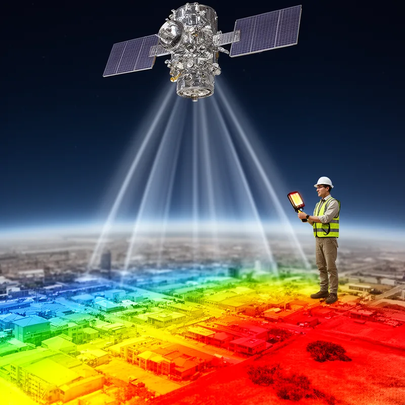
LST stands for Land Surface Temperature and you can think of it as the Earth's 'skin' getting warm or cold. So LST is the measure of how hot the ground or top layer is, often taken from satellites.