
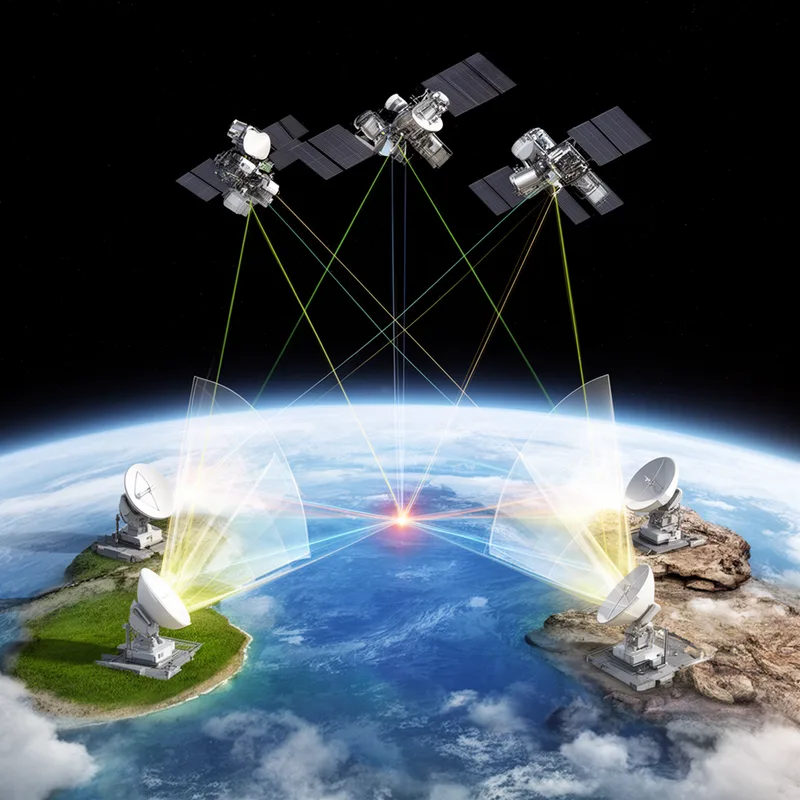
satellite triangulation
- noun
- /ˈsætəˌlaɪt traɪˌæŋɡjʊˈleɪʃən/
- Specialized
- Modern geodesists rely on satellite triangulation to achieve precise measurements of Earth's surface.
Examples
-
National mapping agencies use satellite triangulation when integrating regional geodetic networks.
-
The invention of satellite triangulation greatly improved the accuracy of global mapping.
-
The satellite triangulation method is widely used in geodesy.
-
Many engineers rely on satellite triangulation for accurate measurements.
-
Modern geodesists rely on satellite triangulation to achieve precise measurements of Earth's surface.
-
National mapping agencies use satellite triangulation when integrating regional geodetic networks.
-
The invention of satellite triangulation greatly improved the accuracy of global mapping.
Synonyms
 7
7.3
7
7.3

A way to find a place by measuring angles from two known points, for example in surveying
How Accurate
- Specialized
7
7.2

- Specialized
205
2.6
- Specialized
- Specialized
7
7.3
- Specialized

 1
5.8
1
5.8
Surface Forms
Morphology
The meaning is directly compositional: 'triangulation' (locating a point by measuring angles) modified by 'satellite' indicates triangulation carried out using satellites. Although it is a technical term, the noun+noun composition follows standard patterns and is readily inferable by learners who know both constituent words and the basic concept of triangulation.
Etymology
Satellite triangulation comes from a simple picture: several ground stations look up at the same satellite and measure the angles to it to make a triangle, which is the idea behind triangulation. By using these measured 'triangles' from different places, scientists can work out exact 'positions' on Earth and the Earth's 'shape', so the phrase means using satellites to find very precise locations.