
raster
 2
8.2
2
8.2

- noun
- /ˈræstər/
- Specialized
- Spatial data included raster layers for topography and heights of woody vegetation.
- raster scan
- raster layer
- raster image
Loading YouTube…
Watch on YouTubeAnd also here just some resources you can find raster maps.
- And also here just some resources you can find raster maps.
- And if that would be a raster, you would be able to apply it right away.
- We have thermal power, acoustics, raster, sometimes schlieren and stuff like that.
- You see, we've created raster rig or raster stack depending on the function that we used.
Examples
-
To enable the processing of datasets larger than the main memory, rasters are commonly decomposed into smaller blocks.
Academic text (2018) -
The next one down is the raster scan generator.
-
And if that would be a raster, you would be able to apply it right away.
-
In the first step, we check the accessibility type of every raster piece.
Academic text (2016) -
Data can be stored in a GIS in two ways: in raster format and in vector format.
Academic text (1998) -
Analog electronic imaging employs a raster scan to acquire the analog signal.
Academic text (1992) -
We used the model-averaged regression coefficients and the GIS to derive a raster layer representing permeability for each species.
Academic text (2017) -
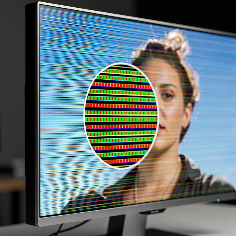
The image on the computer screen is created using a raster of tiny colored squares.
-
In digital mapping, a raster represents the area as a grid of pixels.
-
Most modern displays use a raster format to outline the image shown on the screen.
Synonyms
 65
7.7
65
7.7
A shape that shows how a signal spreads from a device
Antonyms

Compounds

Surface Forms
Etymology
Raster comes from an old word rastrum meaning 'rake', a tool that makes regular, parallel lines in the ground. That's why a raster is the grid or pattern of lines a screen or printer uses to draw an image.