
photogeologic


 1
9.3
- adjective
- /ˌfoʊtəʊdʒiˈɑːlədʒɪk/
- Specialized
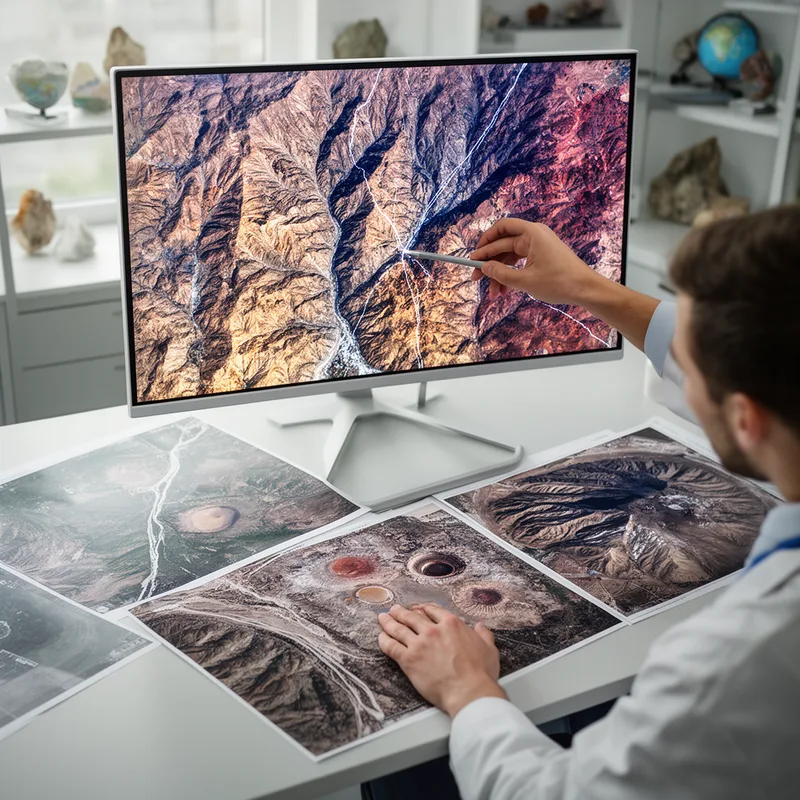
- Researchers used photogeologic techniques to map the surface of Mars from satellite images.
Examples
-
The photogeologic analysis provided new insights into the region's volcanic history.
-
A photogeologic survey can reveal hidden faults and rock formations in remote areas.
-
The photogeologic survey revealed new insights into the area's geology.
-
Many scientists use photogeologic methods to analyze landforms.
-
Researchers used photogeologic techniques to map the surface of Mars from satellite images.
-
A photogeologic survey can reveal hidden faults and rock formations in remote areas.
-
The photogeologic analysis provided new insights into the region's volcanic history.
Synonyms
 1
9.4
Using photos to measure distances and make maps
Surface Forms
Morphology
Etymology
The word photogeologic has the parts photo- 'light' and geo- 'earth', the same parts you see in photograph and geology. So a photogeologic study is 'studying the Earth with light', meaning it uses photos or satellite images to find rock and land features.