
isothere
- noun
- /ˈaɪsəˌθɪr/
- Specialized
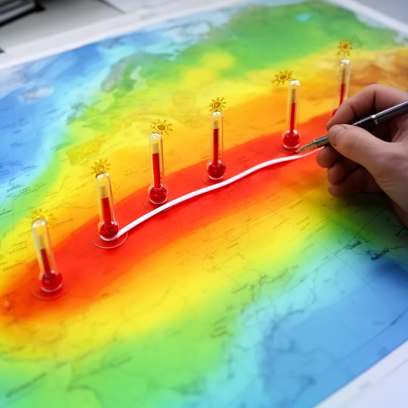
- The isothere clearly marks the regions sharing the same average summer temperature on the climatological map.
Examples
-
The isothere map indicates areas with similar summer temperatures.
-
When comparing temperature data, tracing the isothere helps visualize patterns of seasonal warmth.
-
Meteorologists used an isothere to study heat distribution across the continent during the summer.
-
Can you explain how the isothere is determined?
-
Meteorologists used an isothere to study heat distribution across the continent during the summer.
-
The isothere clearly marks the regions sharing the same average summer temperature on the climatological map.
-
Tracing the isothere on the map helps to visualize areas with similar summer temperatures.
Synonyms

A line on a map joining places that have the same temperature or height

A line on a map that connects points with the same value, like temperature

A line on a map connecting points that have the same value, like temperature or pressure

A line on a map that joins places with the same height or temperature

A line on a map that connects places with the same value, like temperature
Surface Forms
Morphology
isothere = isotherm (opaque) = iso + there
Isothere is closely related to and effectively a variant/form of 'isotherm', so the relation to that base is directly recoverable by someone who knows the technical term.
Etymology
The word isothere comes from the Greek part iso- meaning 'equal' and the same root as thermometer for 'heat', so an isothere is a line that joins places with the same summer temperature.

