
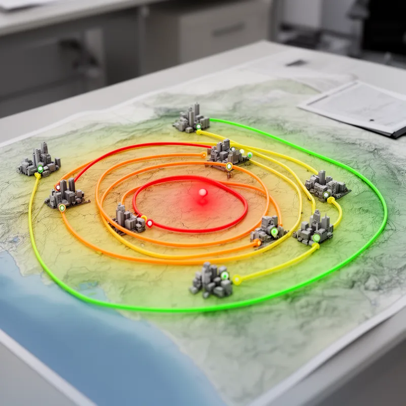
isoseismal
- noun
- /ˌaɪsoʊˈsaɪzməl/
- Specialized
- An isoseismal line can help identify the earthquake's epicenter.
Examples
-
The isoseismal lines showed that the city center experienced the strongest shaking during the earthquake.
-
Scientists use isoseismal maps to study how an earthquake's intensity varies across a region.
-
After each major quake, researchers carefully draw isoseismal lines to analyze the patterns of ground motion.
-
The isoseismal map showed the areas most affected by the earthquake.
-
After each major quake, researchers carefully draw isoseismal lines to analyze the patterns of ground motion.
-
Scientists use isoseismal maps to study how an earthquake's intensity varies across a region.
-
The isoseismal lines showed that the city center experienced the strongest shaking during the earthquake.
Synonyms

A line on a map that connects places with the same value, like temperature

A line on a map that joins places with the same height or temperature

A line on a map that connects points with the same value, like temperature

A line on a map connecting points that have the same value, like temperature or pressure
Surface Forms
Morphology
Etymology
Isoseismal comes from the parts iso- ('equal') and seism ('shake'), the same root you see in seismic. So an isoseismal line joins places that had the same 'shake' or earthquake strength.

