
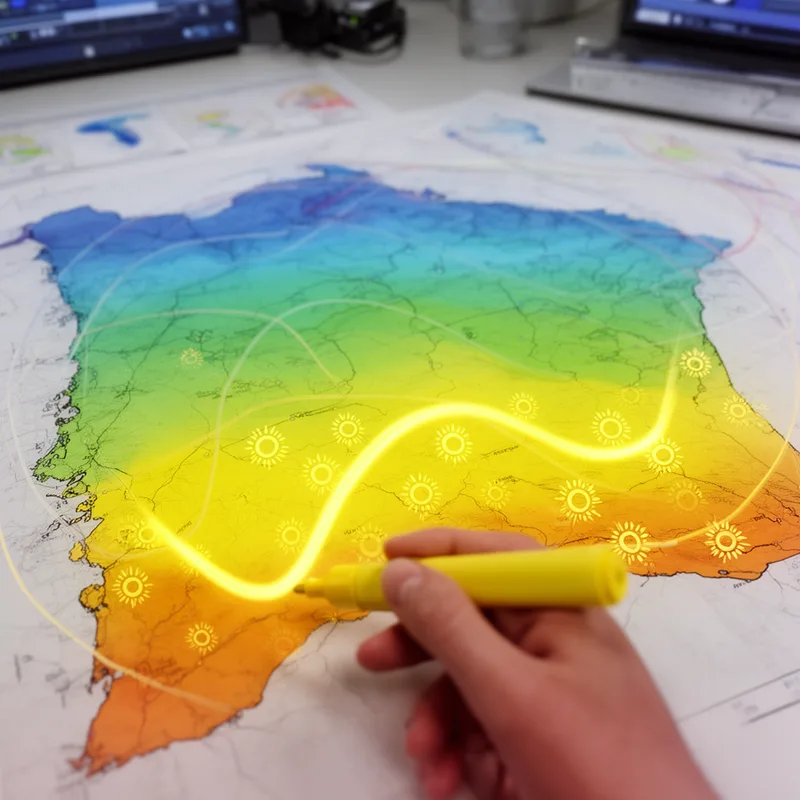
isohel
- noun
- /ˈaɪsoʊhɛl/
- Specialized
- The meteorological map displayed an isohel indicating regions that received similar hours of sunshine.
Examples
-
Drawing an isohel helps scientists analyze sunlight patterns over large geographic areas.
-
Farmers use the isohel map to determine planting times.
-
The isohels showed that the southern coast had more sunshine than the northern inland regions.
-
The isohel indicates areas with similar sunlight exposure.
-
The isohel map revealed that the eastern region receives consistent sunlight throughout the summer.
-
Scientists marked the isohel to indicate areas with equal sunshine exposure for their climate research.
-
The isohel connecting the coastlines depicted where different zones experience the same sunlight levels.
Surface Forms
Etymology
Isohel comes from the Greek parts iso- 'equal' and helios 'sun', a root you also see in words like helium. So an isohel is a line on a map that connects places that get the same amount of sunshine.

