
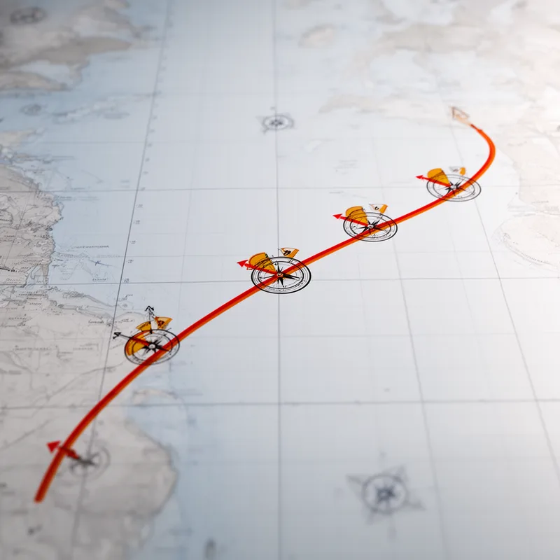
isogonic line
- noun
- /ˌaɪsəˈɡɒnɪk laɪn/
- Specialized
- An isogonic line connects points on a map where the magnetic declination is equal.
Examples
-
As you move across an isogonic line, the magnetic declination remains unchanged.
-
The navigator charted the ship's course using an isogonic line to correct for magnetic variation.
-
Maps often display isogonic lines to help pilots determine true directions.
-
The isogonic line indicates areas of equal magnetic declination.
-
Many maps include isogonic lines for navigation.
-
Maps often display isogonic lines to help pilots determine true directions.
-
The navigator charted the ship's course using an isogonic line to correct for magnetic variation.
Synonyms

A line on a map showing places where compasses point the same amount away from north
A line on the Earth's surface joining places where compasses point the same amount from true north
Surface Forms
Morphology
isogonic + line
Although 'line' is transparent, 'isogonic' is a rare, technical formation whose connection to 'magnetic declination' is not derivable from its parts for an average B1 learner. The term requires domain-specific knowledge (geomagnetism/cartography) rather than ordinary compositional meaning, so the overall MWE is not predictable from its constituents.
Etymology
The term isogonic line comes from parts meaning iso for 'equal' and gonic for 'angle', and it describes an imaginary line on a map that joins places where a compass points the same amount away from 'true north'. So, following an isogonic line keeps the 'compass error' the same, which helps pilots and sailors correct their direction.

