
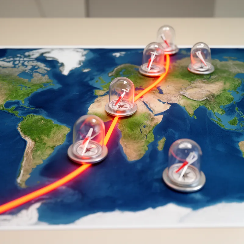
isoclinic line
- noun
- Specialized
- The map displayed an isoclinic line passing through several regions, indicating areas with the same magnetic inclination.
Examples
-
Navigators use the isoclinic line to determine how a compass needle tilts at different locations.
-
The scientists traced the isoclinic line to study changes in Earth's magnetic field over time.
-
The isoclinic line indicates areas of equal magnetic inclination.
-
Scientists use isoclinic lines to study Earth's magnetic field.
-
Navigators use the isoclinic line to determine the magnetic inclination of different locations on the map.
-
On the geological map, the isoclinic line connects various regions that share the same magnetic inclination.
-
Researchers plotted the isoclinic line to analyze variations in Earth's magnetic field across different sites.
Synonyms
A line on a map connecting places with the same angle of the Earth's magnetic field

A line on a map that joins places with the same height or temperature

A line on a map joining places that have the same temperature or height

A line on a map that connects points with the same value, like temperature

A line on a map that connects places with the same value, like temperature

A line on a map connecting points that have the same value, like temperature or pressure
Surface Forms
Morphology
The phrase is a straightforward adjective + noun composition: 'isoclinic' (points with equal magnetic inclination) modifies 'line', so the meaning 'a line connecting points of equal magnetic inclination' is directly derivable from the constituents. This follows standard scientific naming patterns, making the term compositionally transparent to a learner who knows both words despite its technicality.
Etymology
Isoclinic line names a map line that links places where the Earth's magnetic field makes a compass needle tilt the same amount. So, it means 'a line on a map connecting points with the same magnetic inclination', where 'magnetic inclination' is how much a compass needle points up or down, and scientists use it to compare compass tilt across different regions.

