
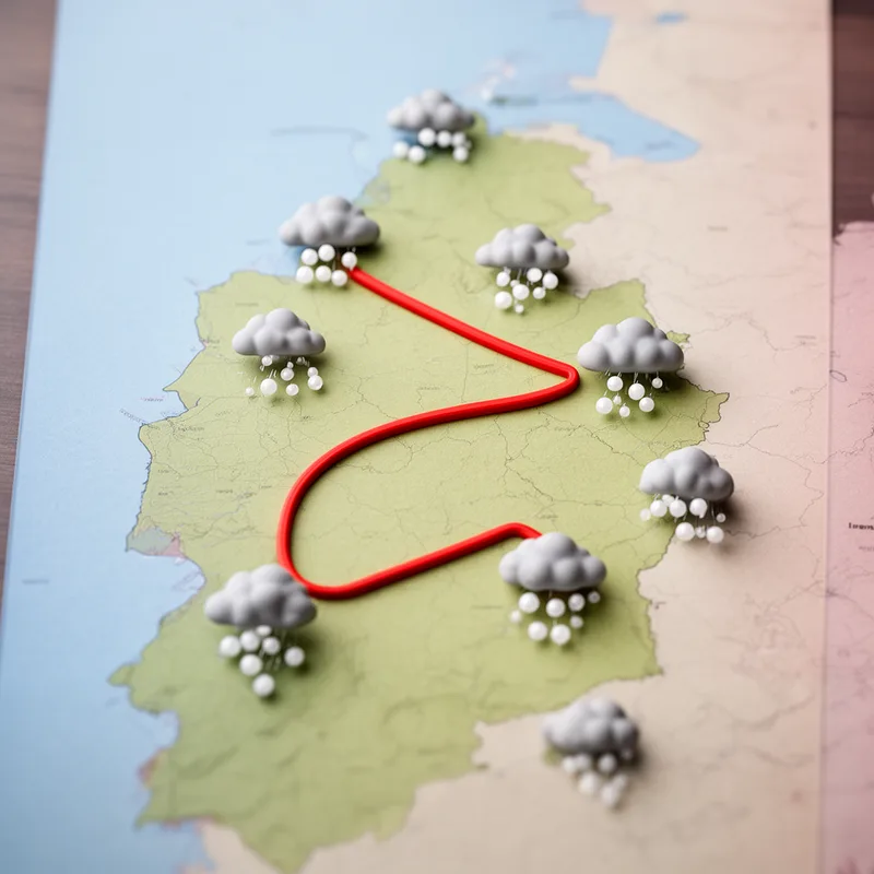
isochalaz
- noun
- /ˌaɪsəˈkeɪləz/
- Specialized
- The isochalaz indicates regions with frequent hail storms.
Examples
-
Meteorologists use an isochalaz to study regions with similar hailstorm activities across a country.
-
The isochalaz on the weather map highlights areas prone to frequent hail.
-
Drawing an isochalaz helps in understanding the spatial distribution of hailstorms.
-
What is an isochalaz?
-
Creating an isochalaz allows meteorologists to visualize areas that experience the same frequency of hail storms.
-
The isochalaz on the map shows the regions that receive similar amounts of hail during the storm season.
-
By studying the isochalaz, scientists can identify which areas are most affected by hail storms.
Synonyms

A line on a map that connects places with the same value, like temperature

A line on a map that connects points with the same value, like temperature

A line on a map that joins places with the same height or temperature
Surface Forms
Morphology
isochalaz = iso + chalaz
Although 'iso-' (equal) is recognizable, the root 'chalaz' is a specialized combining form (not a standalone English word), so learners cannot reliably infer the meaning from the parts.
Etymology
Isochalaz comes from the parts iso- meaning 'equal' (seen in words like isobar) and chalaz meaning 'hail'. So an isochalaz is a line on a map that joins places with the same number of hail storms.

