
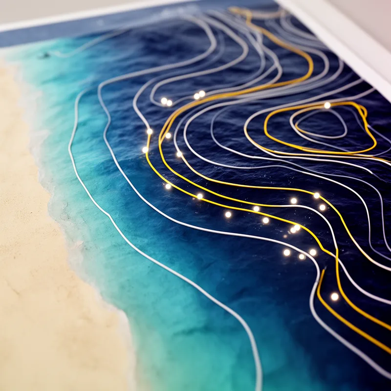
isobath
- noun
- /ˈaɪzoʊˌbæθ/
- Specialized
- The map clearly shows the isobath at 20 meters, indicating where the water is that deep.
- fm isobath
- m isobath
- meter isobath
Examples
-
To maintain a less disturbed environment for threatened and endangered species, recreational and commercial activities (including fishing) are not allowed within the 10-20 fathom isobath of most islands northwest of Kauai (varying with location).
Academic text (1993) -
The 100-fm isobath is found well within a mile of shore, from Kealakekua Bay on the western side and around the southern tip of the island to Cape Kumukahi.
Academic text (1993) -
Furnell (1982) estimated a ratio of 13 inside the 10-fm isobath off Guyana and observed that this ratio decreased with increasing depth.
Academic text (1991) -
As mentioned, the artisanal trawl fleet fishes within the 6-fm isobath in the Gulf of Paria.
Academic text (1991) -
Regardless of the physical extent of the margin, state jurisdiction cannot extend beyond 350 nm from the baseline or 100 nm beyond the 2,500-meter isobath.
Academic text (2005) -
In Trinidad, the artisanal trawlers fish within the nearshore region (mainly inside the 5-fm isobath) of the Gulf of Paria.
Academic text (1991) -
The local artisanal trawl fleets fish within the 6-fm isobath in the Gulf of Paria, close to their home ports, where they usually land most of their catch (Maharaj, 1989).
Academic text (1991) -
Cuban atlases, like the 1989 effort by the Academia de Ciencias de Cuba, follow the conventional practice of employing the zoo-meter isobath to delimit the outer edge of the shelf.
Academic text (1997) -
Divers should refer to the isobath lines to find areas with equal depth for safe exploration.
-
The isobath is marked in blue on the chart, helping sailors navigate the coastal waters.
Synonyms

A line on a map that joins places with the same height or temperature

A line on a map that connects points with the same value, like temperature

A line on a map that connects places with the same value, like temperature

A line on a map connecting points that have the same value, like temperature or pressure
Surface Forms
Morphology
isobath = bath (opaque) = iso + bath
Both 'iso-' and 'bath' are bound Greek combining forms (meaning 'equal' and 'depth') rather than productive standalone English words, so an average B1 learner cannot reliably derive the meaning from the parts.
Etymology
Isobath comes from two Greek parts: iso- meaning 'equal' and bath meaning 'depth'. So an isobath is a line on a map or chart that links places of the same depth, which helps sailors and scientists read the sea floor.

