
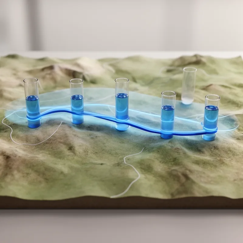
hydroisohypse
- noun
- Specialized
- The groundwater flow direction can be interpreted by analyzing the hydroisohypse lines on the map.
Examples
-
A sudden bend in a hydroisohypse may indicate an underground barrier or change in aquifer properties.
-
The hydroisohypse indicates the groundwater level across the region.
-
Contaminant migration studies often depend on accurately mapping hydroisohypse patterns.
-
Researchers often use a hydroisohypse to analyze water resources.
-
The hydroisohypse line on the map revealed areas of higher groundwater levels in the valley.
-
Hydrologists rely on the hydroisohypse to understand how water moves beneath the surface.
-
By studying the hydroisohypse, scientists can determine the relationship between groundwater levels and surface topography.
Surface Forms
Morphology
hydroisohypse = isohypse (opaque) = hydro + iso + hypse
The target is built on the technical base 'isohypse' with hydro- added, but the specialized hydrological sense is not readily inferable for an average learner.
Etymology
Hydroisohypse joins hydro- 'water', iso- 'equal', and -hypse 'height', like the English word 'high'. So a hydroisohypse is a line on a map that connects places where groundwater is at the same height.

