
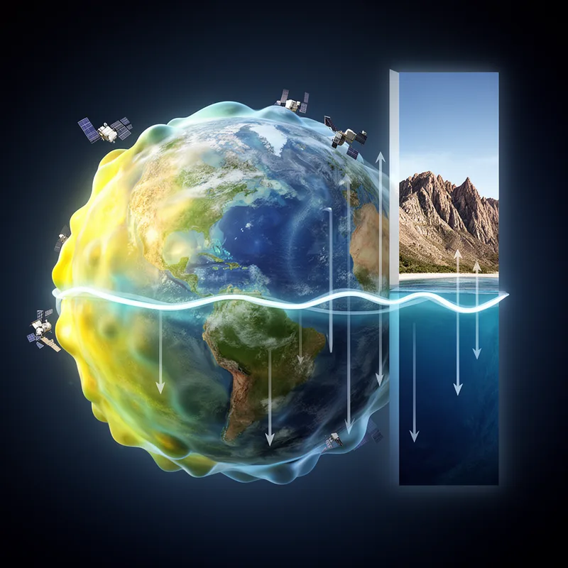
geoid


 1
9.5
1
9.5
- noun
- /ˈdʒiːɔɪd/
- Specialized
- The geoid represents the mean sea level of the Earth, serving as a reference for measuring elevations.
Examples
-
But but this is relative to the geoid, relative to a constant level surface on the ocean.
-
The first 'geoid' based on GOCE's gravity measurements was unveiled in June 2010.
Blog text (8) -
A geoid is a crucial reference for conducting precise measurements of ocean circulation, sea-level change, and ice dynamics.
Blog text (8) -
Concurrently occupying different altitudes over the same WGS84 geoid coordinate does not result in a hit.
Blog text (1) -
Scientists rely on the geoid to ensure accurate measurements for sea-level changes and ocean currents.
-
Understanding the geoid is essential for geographers who analyze the Earth's gravitational field and surface features.
Surface Forms
Morphology
Etymology
Geoid comes from the Greek parts geo- meaning 'earth' (as in geography) and -oid meaning 'like' or 'shape' (as in asteroid). So a geoid is an 'earth-like shape' — the real, slightly uneven shape of the Earth that shows mean sea level and is used to measure heights and ocean depths.