
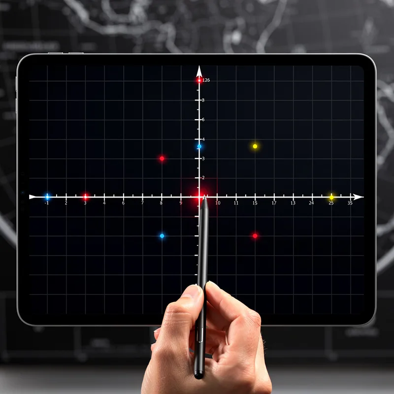
coordinate system
 4
3.9
4
3.9

- noun
- /ˈkoʊɔrdɪneɪt ˈsɪstəm/
- Specialized
- For example, using the Cartesian coordinate system from the point of origin, a point is determined to be X=5, Y=3.5.
- Cartesian coordinate system
- origin of the coordinate system
- two coordinate systems
Loading YouTube…
Watch on YouTubeSo when doing this with a couple things we need to know about our Cartesian coordinate system.
- So when doing this with a couple things we need to know about our Cartesian coordinate system.
- Another topic is something called coordinate systems.
- So you can use a coordinate system that has yacht sticks, which expand at exactly the same rate as the universe.
Examples
-
Use Cartesian coordinates and other coordinate systems, such as navigational, polar, or spherical systems, to analyze geometric situations.
Academic text (2011) -
G&M code is based on a three-dimensional Cartesian coordinate system.
Academic text (2011) -
And so this, these two coordinate systems are very different.
-
And the the coordinate system allows us to do that.
-
By comparing the results under the two coordinate systems, significant differences occurred.
Academic text (2011) -
The body is defined in the coordinate system XYZ.
-
To keep things simple, suppose the train is not tilted, so that the two coordinate systems are parallel.
Academic text (1996) -
Standardize the coordinate system, format, and precision of reported geographic locations in journal articles.
Academic text (2013) -
We can use this formula because all triangles in our Cartesian coordinate system are right triangles.
Academic text (2011) -
In math class, we learned how to graph points using the coordinate system to find their locations on a grid.
Synonyms
 5
6.1
5
6.1
A system for measuring where things are and how they move from one viewpoint
 3
7.2
3
7.2
A system that describes where and how an object is located or facing


 1
4.9
1
4.9
A system that uses coordinates to show positions, like GPS or a map grid
Surface Forms
Morphology
The meaning is directly and compositionally built from 'coordinate' (a value specifying a point's position) plus 'system' (an organized set of components): together they denote an organized method for using coordinates to locate points. This noun–noun compounding is cross-linguistically common (e.g., sistema de coordenadas) and follows straightforward semantic composition, so a B1 learner who knows both words will readily infer the meaning.
Etymology
Coordinate system is like a street map: each coordinate (a number) works together like a street name and house number, and the system is the set of lines and rules that make the map. That's why the phrase means 'to find exact places'.