
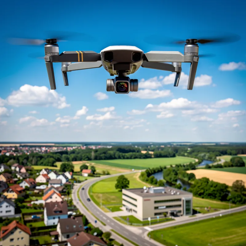
aerial photography
 3
3.8
3
3.8

- noun
- /ˈɛəriəl fəˈtɒɡrəfi/
- Specialized
 :
fotografía aérea
:
fotografía aérea
- The documentary featured stunning aerial photography that showcased the natural beauty of the national park.
- satellite and aerial photography
- aerial photographs and images
- using aerial photography
Yeah, again, I think you can look at groups who use aerial photography as public lab does or Google Street View to investigate pollution issues.
- Yeah, again, I think you can look at groups who use aerial photography as public lab does or Google Street View to investigate pollution issues.
Examples
-
The scars of no fewer than fifteen ancient riverbeds are still discernible in aerial photographs.
Academic text (1992) -
The onboard computers can also use data from stored maps or aerial photographs instead of sensor data.
Academic text (2000) -
The development and use of aerial photography were primarily initiated during and immediately after World War I.
Academic text (1993) -
Yeah, again, I think you can look at groups who use aerial photography as public lab does or Google Street View to investigate pollution issues.
-
As Hermosa states: "Designs were made on the basis of aerial photography."
Academic text (2008) -
Much less is known about the aerial photography of Johnson than about the 1931 Shippee-Johnson Expedition.
Academic text (1993) -
I'd seen aerial photographs and site plans of the temple precinct, but its scale still surprised me.
Academic text (2006) -
Five volumes in the Special Publications series were devoted to aerial photography, or airplane photography, as it was initially called.
Academic text (1993) -
Some Wisconsin NRCS offices use these products to layer their maps and drawings over aerial photographs.
Academic text (2003) -
The incident nonetheless revealed the value of using aerial photography to locate pollutants originating from illegal waste-disposal sites.
Academic text (1999)
Synonyms
 31
4.0
31
4.0
Photographs taken from planes or satellites used for maps and study
A set of photos from planes or satellites that show a place
How High
- Specialized
1
6.0

- Specialized
3
3.8
Surface Forms
Morphology
The meaning 'taking photographs from the air' is directly and compositionally derived from 'aerial' (in the air) + 'photography' (the practice of taking photos). This compound follows a transparent modifier+noun pattern common across languages, so a B1 learner who knows both constituents will readily infer the MWE meaning.
Etymology
The phrase aerial photography comes from early experiments when people sent cameras up in balloons, kites, or on pigeons to make pictures of the land from above. The word aerial means 'in the air' and photography means 'taking pictures', so the phrase now means 'taking photos from the air'.