
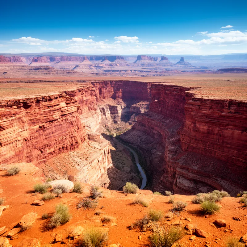
Colorado Plateau


 1
5.3
1
5.3
- proper noun
- /ˌkɒləˈrædoʊ plæˈtoʊ/
- Our road trip will take us through the breathtaking landscapes of the Colorado Plateau.
Examples
-
Many hikers explore the stunning trails that wind through the Colorado Plateau.
-
The Colorado Plateau includes most of western Colorado, eastern and southern Utah, northwest New Mexico, and northern Arizona, generally encompassing the basin of the Colorado River through the Grand Canyon.
Academic text (2018) -
Also during the 1870s, Powell spent some of his time studying the Indian groups on the Colorado Plateau.
Academic text (2007) -
To the west, the mountains descend into the Colorado Plateau and Basin and Range provinces.
Academic text (2018) -
The Colorado Plateau is a 130,000-square-mile blister of land roughly centered on the Four Corners area, the dry confluence of Arizona, Utah, Colorado, and New Mexico.
Academic text (2007) -
For more than 10,000 years, the Anasazi and their ancestors walked the climatic tightropes of the Colorado Plateau, chasing the rain and leaving their camps and settlements behind.
Academic text (2007) -
I've traveled extensively in the Mojave, Great Basin, and Sonoran deserts, as well as in the steppes and slickrock country of the Colorado Plateau.
Blog text (6) -
The Grand Canyon is one of the most famous landmarks in the Colorado Plateau.
Surface Forms
Morphology
This is a compositional place name: the meaning 'a plateau associated with Colorado' is directly derivable from the constituents 'Colorado' (the U.S. state) and 'plateau' (broad, elevated flat land). Geographic naming conventions of language generally make such constructions immediately comprehensible to learners who know the component words.
Etymology
Colorado Plateau comes from the land's red color and its high, flat shape. The word Colorado is Spanish for 'reddish' because of the red rocks and the Colorado River, and plateau means 'high flat land', so the name helps you picture the region's red, flat landscape.