
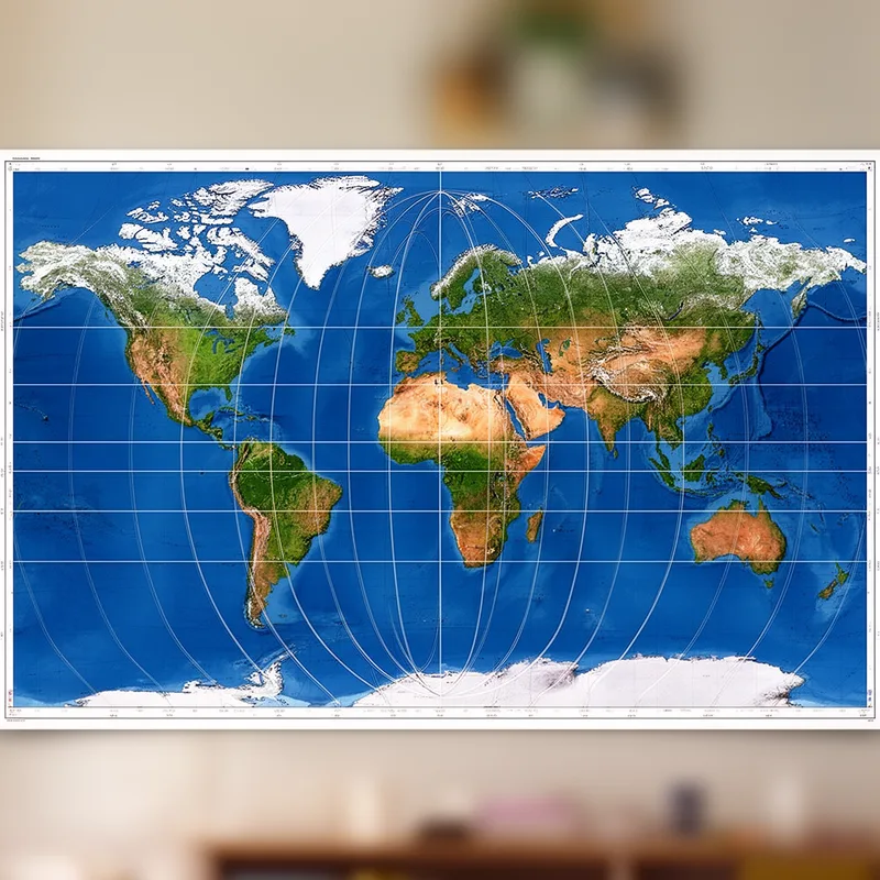
sinusoidal projection
- noun
- /ˌsaɪnəˈsɔɪdəl prəˈdʒɛkʃən/
- Specialized
- The sinusoidal projection allows cartographers to accurately depict areas in tropical regions by representing parallels as straight lines.
Examples
-
The sinusoidal projection is often used in atlases to display regions near the equator.
-
Cartographers sometimes prefer the sinusoidal projection when creating world maps focused on tropical zones.
-
Because it is an equal-area map, the sinusoidal projection preserves the true size of landmasses.
-
The sinusoidal projection is useful for tropical maps.
-
Many cartographers prefer the sinusoidal projection for its accuracy.
-
Many educators use the sinusoidal projection in classrooms to illustrate how map projections can maintain landmass size.
-
When examining the geography of the equatorial zone, the sinusoidal projection provides an effective way to visualize the layout of countries.
Synonyms

A way of drawing the world on a flat map that keeps area correct and suits maps near the equator
Surface Forms
Morphology
The noun phrase is compositionally transparent: 'sinusoidal' means having a sine-wave form and 'projection' refers to depicting a solid on a plane, so a learner who knows both can infer this is a type of map projection whose lines follow sine curves. Technical specifics (area preservation, typical use for tropical maps) are specialized, but the core meaning is directly derivable from the constituents.
Etymology
Sinusoidal projection comes from the map's shape: the equator and parallel lines are straight while the other meridians bend in smooth, wavy curves like a 'sine' wave. Because of this shape, the map 'keeps the correct size' of places, so mapmakers use it when they need true areas, especially near the tropics.

