
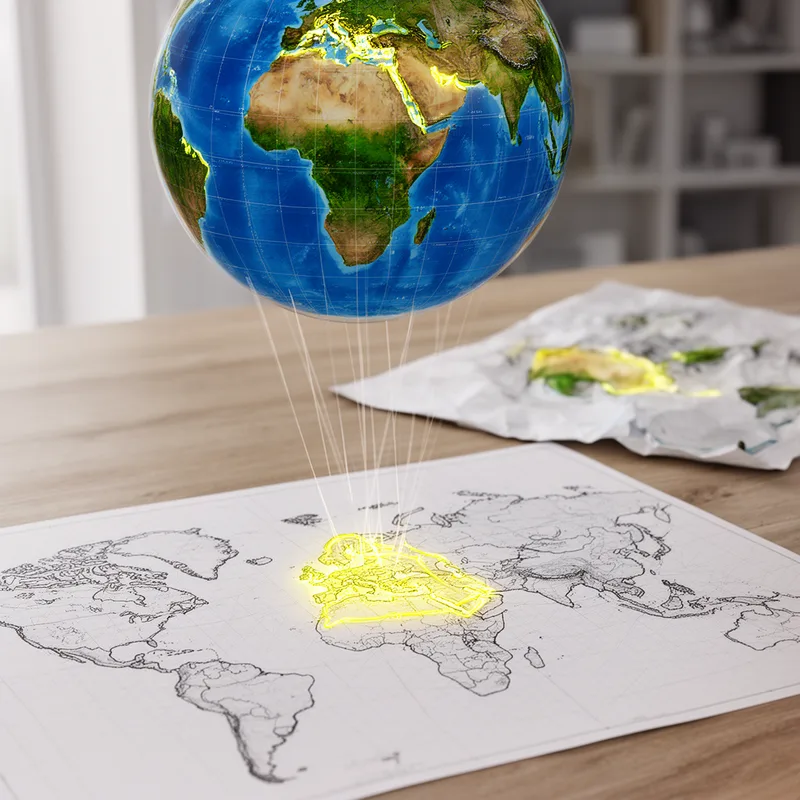
orthomorphic projection
- noun
- /ˌɔrθəˈmɔrfɪk prəˈdʒɛkʃən/
- Specialized
- The Mercator map is a type of orthomorphic projection used for navigation at sea.
Examples
-
The orthomorphic projection accurately depicts the shapes of small regions.
-
This atlas includes several maps created using an orthomorphic projection.
-
Cartographers often use an orthomorphic projection when accurate local shapes are essential.
-
An orthomorphic projection is essential for precise local mapping.
-
Cartographers use an orthomorphic projection to ensure that small areas retain their true shape.
-
The orthomorphic projection is particularly helpful for displaying accurate angles in local maps.
-
Using an orthomorphic projection, the map shows the true forms of the regions accurately.
Synonyms

A map that keeps small shapes and local angles correct but may change size
How Accurate


Surface Forms
Morphology
orthomorphic + projection
If a learner knows the constituent meanings — 'orthomorphic' (preserving true/local shape or form) and 'projection' (a map depiction) — the compound is directly compositional: it denotes a projection that preserves shapes/angles. The adjective+noun combination is literal and non-idiomatic, so the overall meaning is immediately derivable from its parts.
Etymology
Orthomorphic projection comes from old Greek words: ortho meaning 'straight' or 'correct' and morphic meaning 'shape'. So the name describes a map that keeps small areas' shapes and angles 'true', which is why it means a projection that keeps those places looking like their real shape.