
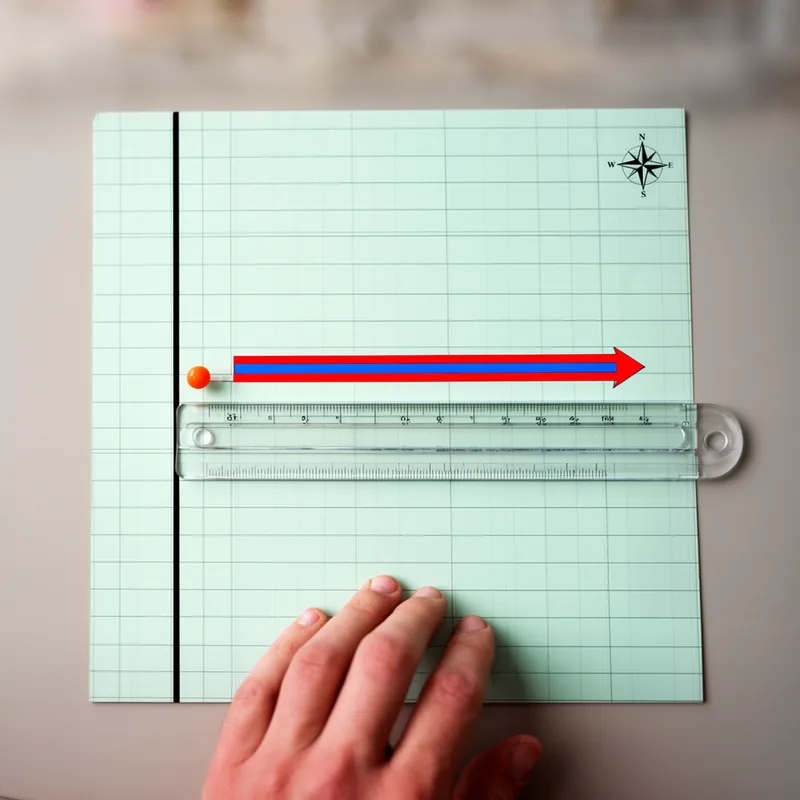
easting


 1
8.4
- noun
- /ˈiːstɪŋ/
- Specialized
- The map clearly indicates the easting of the new building site, measuring its distance from the original survey point.
Examples
-
Surveyors recorded the easting to determine the exact position of the new building.
-
The easting coordinate was recorded at 500 meters.
-
To locate the campsite, you need both the easting and northing values from the map grid.
-
The easting increases as you move further to the right on the map.
-
How do you calculate the easting in this map?
-
When navigating through the wilderness, it is crucial to calculate your easting to ensure you stay on course.
-
In cartography, easting is often represented by numbers that show how far east a location is from a defined meridian.
Synonyms
 33
3.4
The distance east or west of the line at Greenwich measured in degrees
Surface Forms
Morphology
easting = east (semi-transparent) = east + ing
The form is literally east + -ing, but the map-coordinate sense is a specialized technical noun rather than an everyday movement event.
Etymology
Easting comes from the simple word east, which itself comes from an old German word meaning 'dawn' or 'sunrise'. On maps, a easting is the number that shows how far something is to the east, or to the right, so you can remember it as the distance toward the sunrise.